STANDARD LOCATION GUIDE
Plan the ride
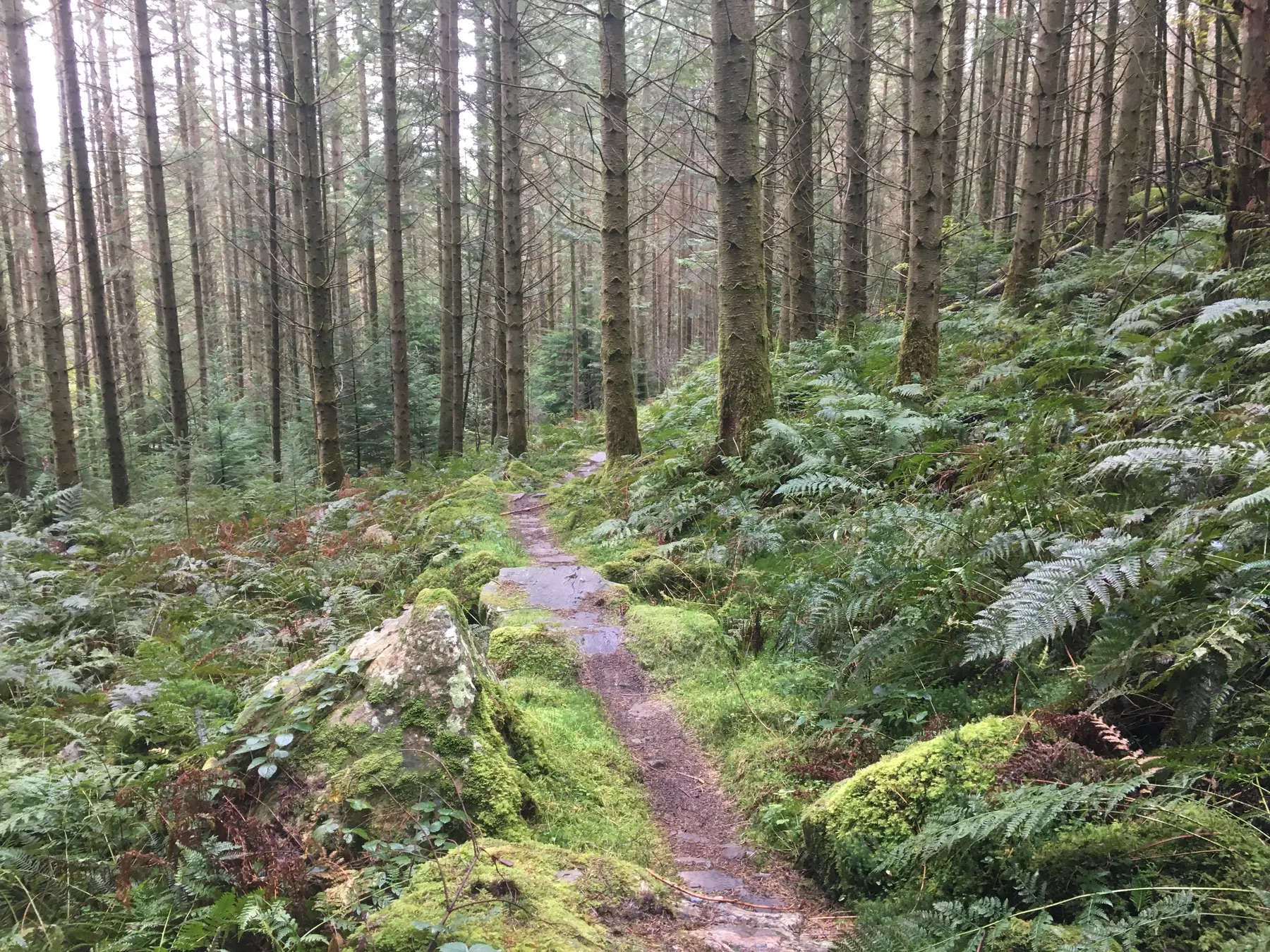
Coed y Brenin is a rocky, all-weather riding destination in Eryri, near Dolgellau. Use this stable overview to choose the ride, then check the live operator page before setting off.
- Grades
- Green · Blue · Red · Black
- Route scale
- Family loops to full-day
- Live status
- Check operator before travel
- Parking & facilities
- Verify on official visitor page
- Booking / uplift
- Confirm directly where required
- Research checked
- 30 August 2026
- Precise area
- Eryri, near Dolgellau
- UK country
- Wales
- Trails & grades
- Green · Blue · Red · Black
- Route scale
- Family loops to full-day
- Riding style & terrain
- Rocky, all-weather riding
- Suitable rider level
- Mixed-ability groups: easier routes sit alongside genuinely technical options.
THE FAN VIEW
Why riders remember Coed y Brenin
This is the kind of destination where a group can build confidence, repeat sections and finish with everyone wanting one more lap.
- Download an offline route and note escape points
- Carry more food, layers and repair capacity than a trail-centre lap
- Set a firm turnaround time around daylight and weather
TRAILS & TERRAIN
What to expect
Rocky, all-weather riding. The currently recorded route scale is family loops to full-day, with indicative grading of Green · Blue · Red · Black. Grading is relative to the venue, so read the operator's route descriptions as well as the colour.
Treat this as a bigger outdoor day: carry navigation, food, water, repair kit and a weather fallback.
ACCESS · FACILITIES · BOOKING
Check before travelling
Before travelling: check live trail status, parking, weather, facilities and any forestry or event closures.
- Live trail status, seasonal closures and diversions
- Route names, current maps, grades and waymarking
- Arrival point, parking charges and public transport
- Toilets, food, bike wash, repair and changing facilities
- Bike hire, uplift, passes, booking and protection rules
If the official source does not list a facility, this guide does not assume it exists. Operational details can change at short notice.
OFFICIAL DETAIL EXPANSION
Named routes and trip facts
Source records checked 31 August 2026. Live conditions and operating details still require a same-day check.
Coed y Brenin combines an adaptive-friendly blue progression route with compact technical red loops, longer red mountain rides and severe black classics. Routes are waymarked from the car park and the official page records distance, climbing and expected time for each option.
MinorTaur
Blue · Moderate · 3 km to 13 km across four progressive loops
A progressive introduction with stone steps, rollers, berms and optional jumps; the first three loops are suitable for adaptive equipment.
Official route recordTemtiwr
Red · Difficult · 9 km · 170 m climb
A short technical test with rock slabs, steps, some black-grade features and a long forest-road climb.
Official route recordCyflym Coch
Red · Difficult · 12.6 km · 270 m climb
A progression route beyond MinorTaur, linking fast flowing sections with relatively short climbs.
Official route recordDragon's Back
Red · Difficult · 30 km · 710 m climb
A demanding forest journey with a hard opening, high point, named singletrack sections and five rewarding descents.
Official route recordMBR
Black · Severe · 17.6 km · 410 m climb
Rocky bedrock, loose technical climbing and descending, large rollers, steps and committing features.
Official route recordTarw Du
Black · Severe · 20 km · 460 m climb
The original purpose-built trail, retaining a rocky character with large slabs and committing lines.
Official route record- Access and arrival
- The visitor centre is eight miles north of Dolgellau, signed from the A470. From Dolgellau, pass through Ganllwyd and continue about 1½ miles; the entrance is on the right. Use postcode LL40 2HZ and grid reference SH 723 268, but follow the signs and avoid the no-through road.
- Public transport
- The nearest mainline stations listed by NRW are Barmouth and Blaenau Ffestiniog. Buses from Dolgellau and Blaenau Ffestiniog stop by request at the entrance road on the A470; check Traveline Cymru and allow for the final approach.
- Facilities
- Charged parking, toilets, showers, bike wash, accessible toilets, picnic and play areas are listed. NRW currently says the café and general shop are no longer operating, the visitor centre is unstaffed and there is no first-aid provision, so bring food and an emergency plan.
- Bike hire and support
- Beics Brenin is listed on the lower level with bike hire, repairs, sales, coaching and lessons. Confirm its current opening and reserve suitable hire equipment before travelling.
- Booking
- The waymarked trails do not have a general booking requirement. Bike hire, coaching and the Tramper off-road mobility scooter should be arranged in advance.
- Seasonal and live-status note
- NRW may divert or close trails for maintenance, forestry work or extreme weather, and the approach can be icy. Check the live notices at the top of the official page and obey all on-site signs.
PRACTICAL FACILITIES
What is known—and what still needs checking
- Public transport
- Nearby option mentioned; verify the final mile
- Food & drink
- Nearby option mentioned in the directory notes
- Bike hire or support
- Not confirmed — check before travelling
- Uplift or advance booking
- No requirement recorded; verify with the operator
- Parking, toilets & changing
- Use the official visitor page for current availability and charges
Natural Resources Wales · land manager. Source last checked 30 August 2026; use it for live closures, facilities, booking and access.